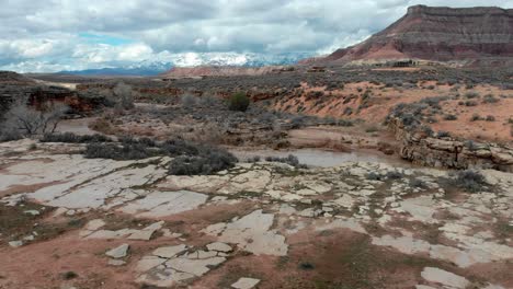
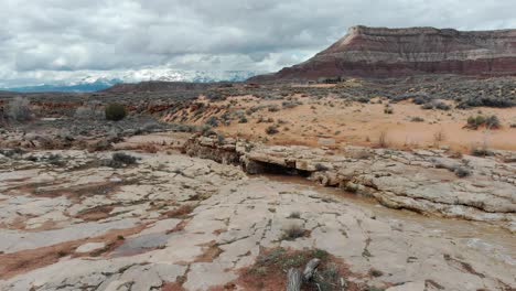
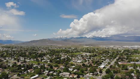
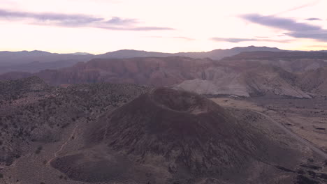
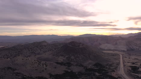
Videvo logo

Free Bountiful Utah Videos

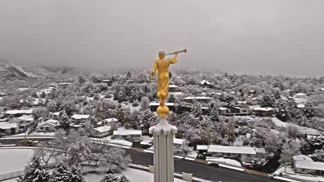
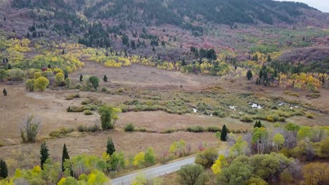
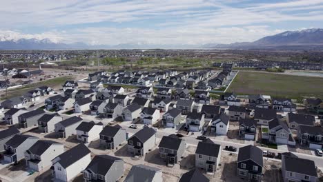
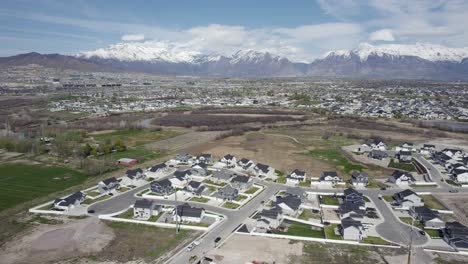
Bountiful Utah videos and clips for free download in 4K & HD for your next video project.

Sort

 
Colorful-Bentonite-Hills-Near-Hanksville,-Utah,-United-States---aerial-drone-shot
 
Angled-push-in-dolly-to-Provo-LDS-Mormon-Temple-with-snow-covered-mountains-behind
 
Dried-Up-Desert-Land-by-Utah-Lake---Aerial-Establishing-Shot-with-Copy-Space
 
Aerial-shot-of-Ogden-city-in-Utah,-with-Wasatch-Mountains-in-background
 
Snow-covered-golden-angel-moroni-on-trumpet-atop-Provo-LDS-Mormon-Temple
 
evergreen-and-aspen-forest-in-snow-basin-utah---AERIAL-TRUCKING-PAN
 
Friends-enjoy-sunset-around-campfire-drone-dolly-forward-to-reveal-provo
 
Top-down-Drone-Shot-Of-Badlands-At-Factory-Butte,-Utah-With-Tire-Tracks-From-Offroad-Vehicles
 
Traffic-on-the-Freeway-during-Rush-Hour-in-Orem,-Utah---Aerial
 
The-city-of-Tooele-Utah,-2019
 
Aerial-orbit-of-southern-side-of-Provo-LDS-Mormon-Temple-covered-in-snow-on-grey-overcast-day
 
4k-wide-orbit-shot-of-Utah-State-Capitol-in-Salt-Lake-City
 
Gorgeous-colorful-trees-in-Utah-by-the-Alpine-Scenic-Loop,-aerial-downwards-view
 
A-city-across-a-frozen-lake-with-rafted-ice-in-the-foreground---sunrise-time-lapse
 
Utah-Mountains-panorama-at-sunset,-drone-rising-up-to-show-sunlit-peak
 
Beautiful-Mormon-Temple-in-American-Fork,-Utah-on-Sunny-Winter-Day---Aerial
 
Panoramic-View-Over-Eroded-Bentonite-Hills-In-Utah,-USA---aerial-drone-shot
 
Mount-Timpanogos-LDS-Mormon-Temple-on-Utah-County-Winter-Day,-Aerial-Orbit
 
Dried-up-Riverbeds-during-Utah-Summer-Drought---Aerial-Top-Down-Establishing-View
 
marsh-land-in-snow-basin-utah-with-plenty-of-water-reflections-and-aspen-and-evergreen-trees---AERIAL-DOLLY-TILT
 
Slow-aerial-top-down-and-tilt-above-golden-trees-during-fall-Park-City,-Utah-USA
 
Symmetrical-aerial-dolly-push-in-to-Provo-LDS-Mormon-Temple-in-snow,-Wasatch-mountain-range-behind
 
Residential-Real-Estate-Houses-in-Suburban-Neighborhood-in-Alpine,-Utah,-Aerial
 
Timpanogos-Temple-for-Church-of-Jesus-Christ-of-Latter-Day-Saints
 
Alpine-Scenic-Loop-in-Utah-Wasatch-Mountains,-autumn-colors-in-trees,-aerial-orbital-tilt-up
 
snow-basin-utah-vista-over-mountains-and-aspen-trees-paning-to-a-commercial-parking-lot-during-blue-hour---AERIAL-DOLLT-TILT
 
Cinematic-Aerial-Tilt-up-Reveal-of-Snowy-Winter-Scene-in-Utah-Mountains
 
Colorful-Eroded-Bentonite-Hills-Near-Hanksville-Utah---aerial-drone-shot
 
Aerial-view-of-the-Utah-state-capitol-under-construction
 
Aerial-View-Of-Utah-Badlands-With-Tire-Tracks
 
Bentonite-Hills-Near-Hanksville,-Utah-On-A-Sunny-Day---aerial-drone-shot
 
Golf-Course-Clubhouse-Venue-Building-with-Beautiful-Sunset-Background-in-Utah---Aerial
 
Extreme-Sports-Aerial-View
 
Aerial-Of-Colorful-Bentonite-Hills-Near-Hanksville,-Utah,-USA---drone-shot
 
LDS-Mormon-Landmark,-Mount-Timpanogos-Temple-by-Utah's-Wasatch-Mountains
 
Vehicle-Off-Roading-Passing-Through-desert-road-In-Escalante-National-Park-In-Utah
 
dark-deep-forest-at-blue-hour-with-golden-aspen-trees-in-snow-basin-utah---AERIAL-RAISE-TILT
 
Eroded-Bentonite-Hills-Near-Hanksville,-Utah,-United-States---aerial-drone-shot
 
Fast-orbit-of-friends-enjoying-sunset-views-over-utah-lake-provo
 
Rush-Hour-Commute-Traffic-on-I-15-Interstate-Freeway-in-Utah-County,-Aerial
 
Wasatch-mountain-and-squaw-peak-road-reveal-behind-friends-relaxing-by-fire
 
Hobble-Creek-In-Winter---Water-Gently-Flowing-Through-Snow-covered-Surroundings-In-Utah-County,-Utah
 
Cars-driving-over-a-black-asphalt-road-between-autumn-colored-trees
 
Golf-Course-Fairway-with-Beautiful-Utah-County-Sunset-in-Cedar-Hills,-Aerial
 
descending-onto-Red-Rock,-Utah
 
River-of-Red-Rock,-Utah
 
Drone-circles-around-golden-angel-with-trumpet-with-snow-covered-neighborhood-behind
 
marsh-land-in-evergreen-aspen-tree-forest-in-snow-basin-utah-4k---AERIAL-DOLLY-TILT
 
Snowy-Trail-Between-Steep-Mountain-Slopes-In-Hobble-Creek-Canyon,-Wasatch-Range,-Utah
 
Mars-like-Landscape-Of-Bentonite-Hills-Near-Hanksville-In-Utah,-United-States---aerial-top-down
 
Mount-Timpanogos-LDS-Mormon-Religious-Temple-Building-in-Utah,-Aerial-Drone
 
snow-basin-utah-end-of-season-dying-aspen-trees-after-sunset-blue-hour---AERIAL-RAISE-TILT
 
Aerial-View-Of-Cars-Driving-In-Provo-Canyon-Road-Along-Provo-River-Through-Mountain-Ranges-In-Utah
 
Gorgeous-vivid-colorful-tree-leaves-in-Utah-state-road-92-from-aerial-view
 
Aerial-View-Of-Cedar-Canyon-Through-State-Route-14-In-Southern-Utah,-USA
 
Aerial-View-Of-Eroded-Bentonite-Hills-In-Utah---drone-shot
 
Fast-aerial-pan-up-of-golden-fall-trees-during-fall-Utah,-USA
 
Gold-Angel-Moroni-Statue-on-the-Provo-LDS-Mormon-Temple-Tower-Spire,-Aerial
 
Drone-flies-above-snowy-trees-and-road-to-establish-Provo-LDS-Mormon-Temple
 
From-the-summit-towards-Provo,-the-breathtaking-panorama-of-the-majestic-wasatch-mountains-stretches-out-before-you,-revealing-an-awe-inspiring-vista-of-natural-beauty,-Utah-valley
 
Low-altitude-flight-toward-Wasatch-mountains-In-Utah,-USA
 
Aerial-parallax-around-golden-Angel-Moroni-on-top-of-Provo-LDS-Mormon-Temple-covered-in-snow
 
Aerial-view-of-the-scenic-highway-in-the-Zion-National-Park
 
The-city-of-Tooele-Utah,-2019
 
Revealing-Red-Rock,-Utah
 
Pan-Red-Rock,-Utah
 
Bentonite-Hills,-Capitol-Reef-National-Park-At-Daytime---aerial-pullback
 
Panoramic-Aerial-View-Of-Sheer-Mountain-Walls-Of-Cedar-Canyon-State-Route-In-Utah,-USA
 
Santa-Clara-Volcano-At-Sunset-In-Washington-County,-Utah,-near-St
 
Sunset-drone-flight-around-Santa-Clara-Volcano-in-Utah,-USA
 
Real-Estate-Suburban-Neighborhood-Houses-in-Utah-County,-Aerial
 
Alpine-and-Lehi-in-Traverse-Mountain,-Utah-County,-Aerial-Landscape
 
Real-Estate-Houses-Development-in-Lehi,-Utah-County---Aerial-Drone-Landscape
 
Remote-Landscape-Near-Hurricane-City-In-Washington-County,-Utah,-United-States