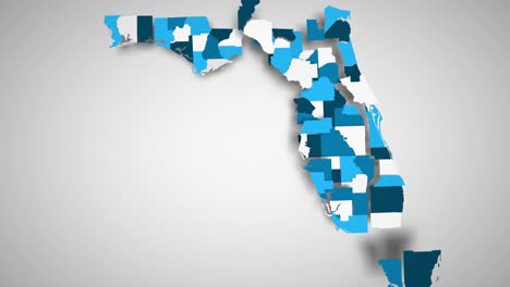
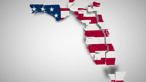
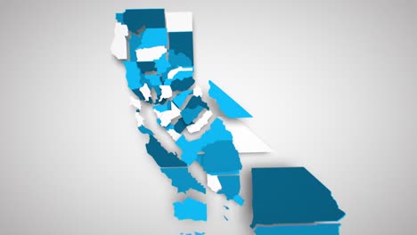
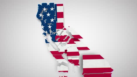
Motion Graphics Animated Map of Florida Forming - White
4k 00:15
Add to Collections
Add to Favorites
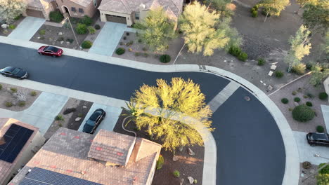
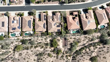
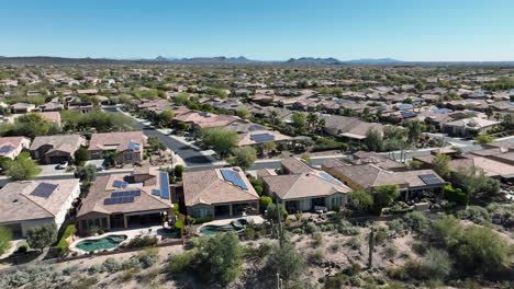
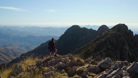
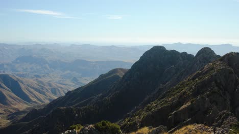
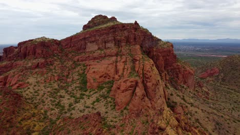
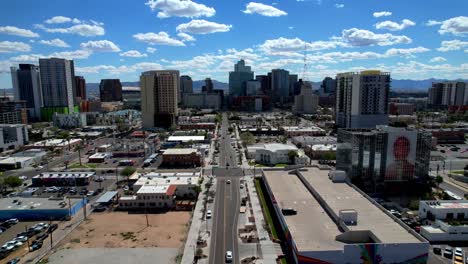
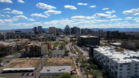
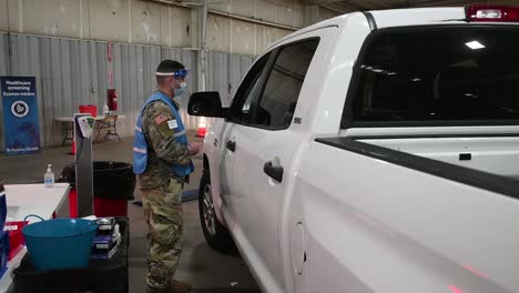
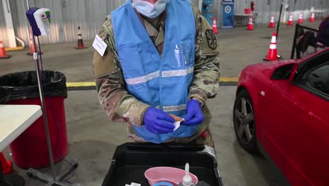
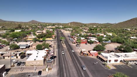
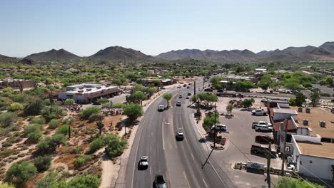
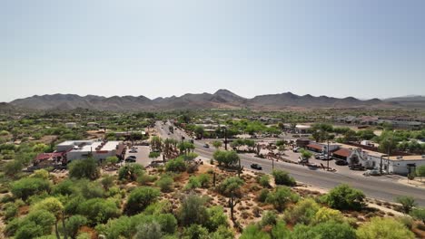
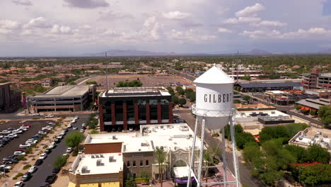
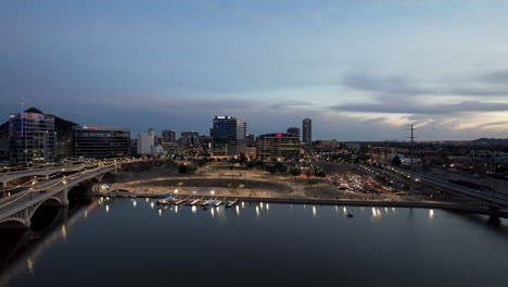
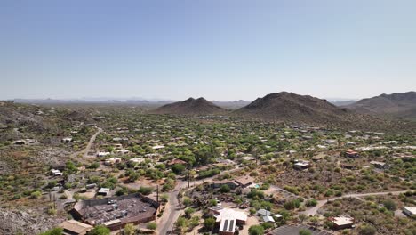
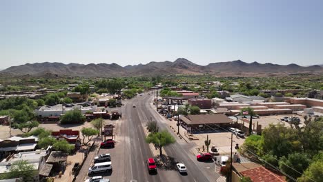
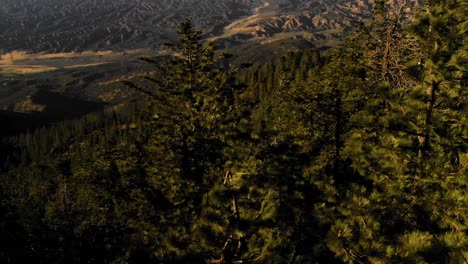
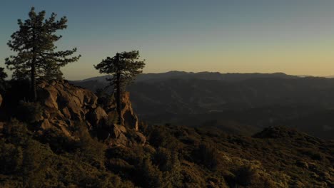
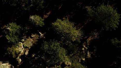
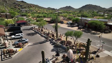
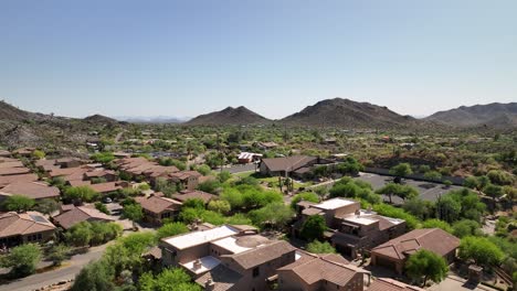
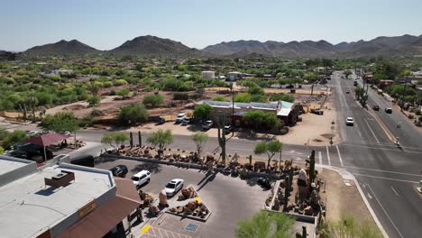
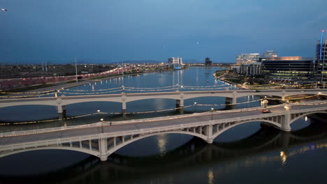
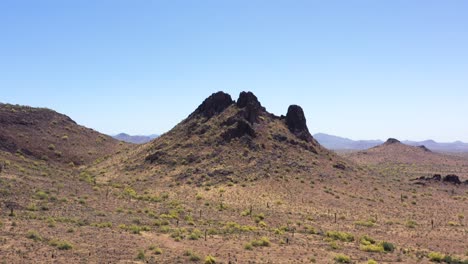
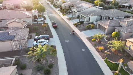
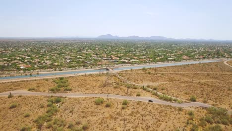
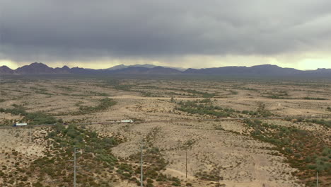
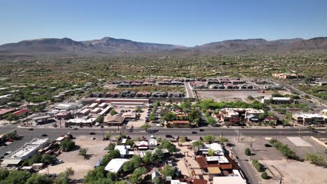
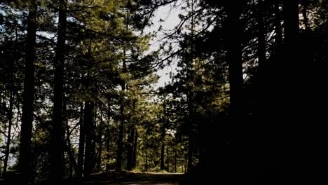
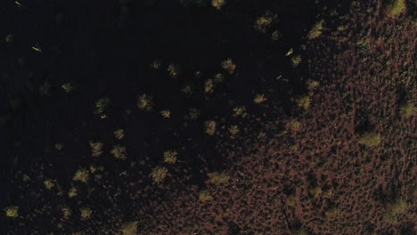
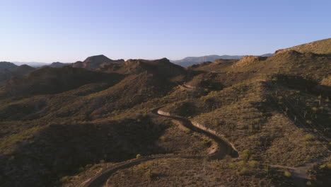
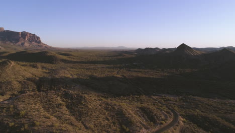
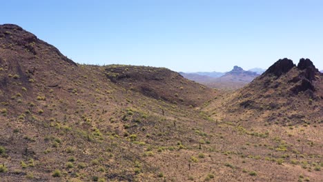
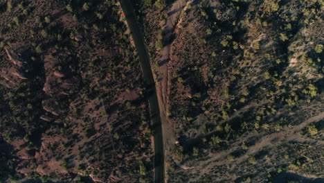
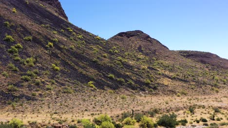
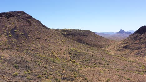
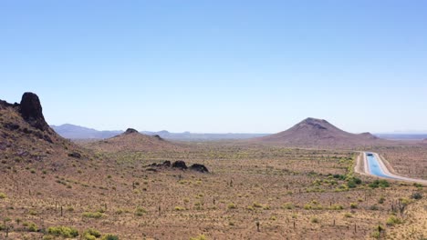
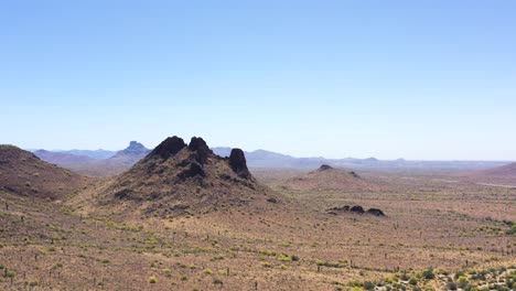
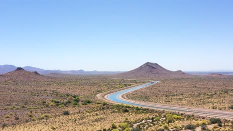
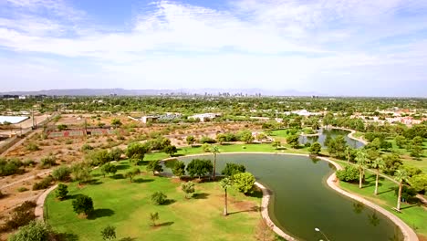
Maricopa Counties videos and clips for free download in 4K & HD for your next video project.
Sort


You must be logged in to add a clip to your collection.
You must be logged in to add a clip to your favorites.


